GEOSPATIAL SERVICES
Home » Geospatial Services
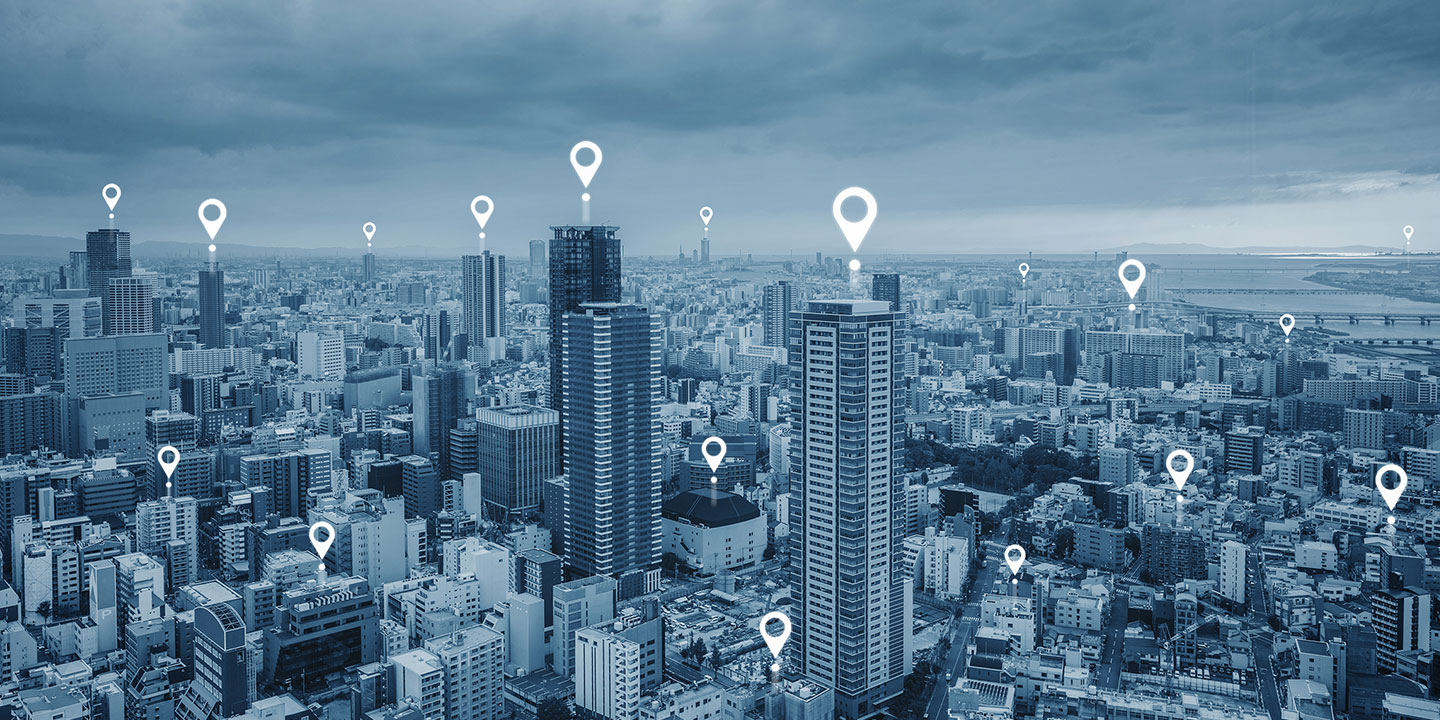
Unlock Business Value through Insights with Geospatial Data
Nityo offers geospatial technology services to efficiently acquire and merge high-quality location or spatial data from multiple sources, allowing for easy access, geo-analytics, and utilization. The services enable organizations to visualize spatial data, generate insights on spatial relationships from massive datasets, and simplify data management.

Geospatial Services
FEATURES OF GEOSPATIAL SERVICES
GIS Needs
A geographic information system (GIS) is a system that creates, manages, analyzes, and maps all types of data. GIS connects data to a map, integrating location data (where things are) with all types of descriptive information (what things are like there).
Strategic Partnerships
Strategic partnerships with GIS and utility market leaders and domain experts share the benefits of being independent partners and reducing risks can control joint actions and effectively contribute in strategic areas.
Offers Subject Matter Expertise
Enthusiastic and professionally experienced team of Nityo experts who possess deep subject matter expertise in utility, location, and navigation data. The professional team thoroughly understands the concepts and is there to help you.
GEOSPATIAL SERVICES OFFERINGS
Nityo helps organizations plan and implement enterprise GIS solutions that enable stakeholders to access business data, integrate workflows and enterprise systems, and interface asset management systems with geospatial data for business operations.
1
GIS Consulting and Assessment Services
Data acquisition or DAQ is digitizing data from the world around us so it can be displayed, analyzed, and stored in a computer. Processing the data further to draw success-driven solutions and effectively manage your content is what Nityo specializes in.
2
Data Acquisition, Processing, and Content Management
Data migration is the process of moving data from one system to another. While this might seem straightforward, it involves storage, database, or application change.
3
Data Migration
Geospatial analytics gathers, manipulates, and displays geographic information system (GIS) data and imagery, including GPS and satellite photographs. Geospatial data analytics rely on geographic coordinates and specific identifiers such as street address and zip code.
4
Spatial Analytics and Insights
Our experienced software developers and application engineers can customize your software interface, mobile workflows, eLearning materials, dashboards, and reports to help you get the most out of your investment.